Drone Intelligence for Climate-Smart Agriculture, Energy & Infrastructure

Empowering farms, solar operators, and development projects in Kenya with precision drone data, mapping, spraying, and inspection solutions.

Drone Intelligence for a Climate-Smart Africa

Ascendrone is a drone-enabled data and operations company helping farms, energy providers, infrastructure projects, and institutions make smarter decisions through aerial intelligence.
We specialise in climate-smart agriculture, solar inspection, and geospatial mapping solutions designed for Kenya and East Africa’s growing development needs.

KCAA Compliant

Operating with a strong focus on Kenya Civil Aviation Authority regulations and safe drone deployment

Climate-Smart Agriculture


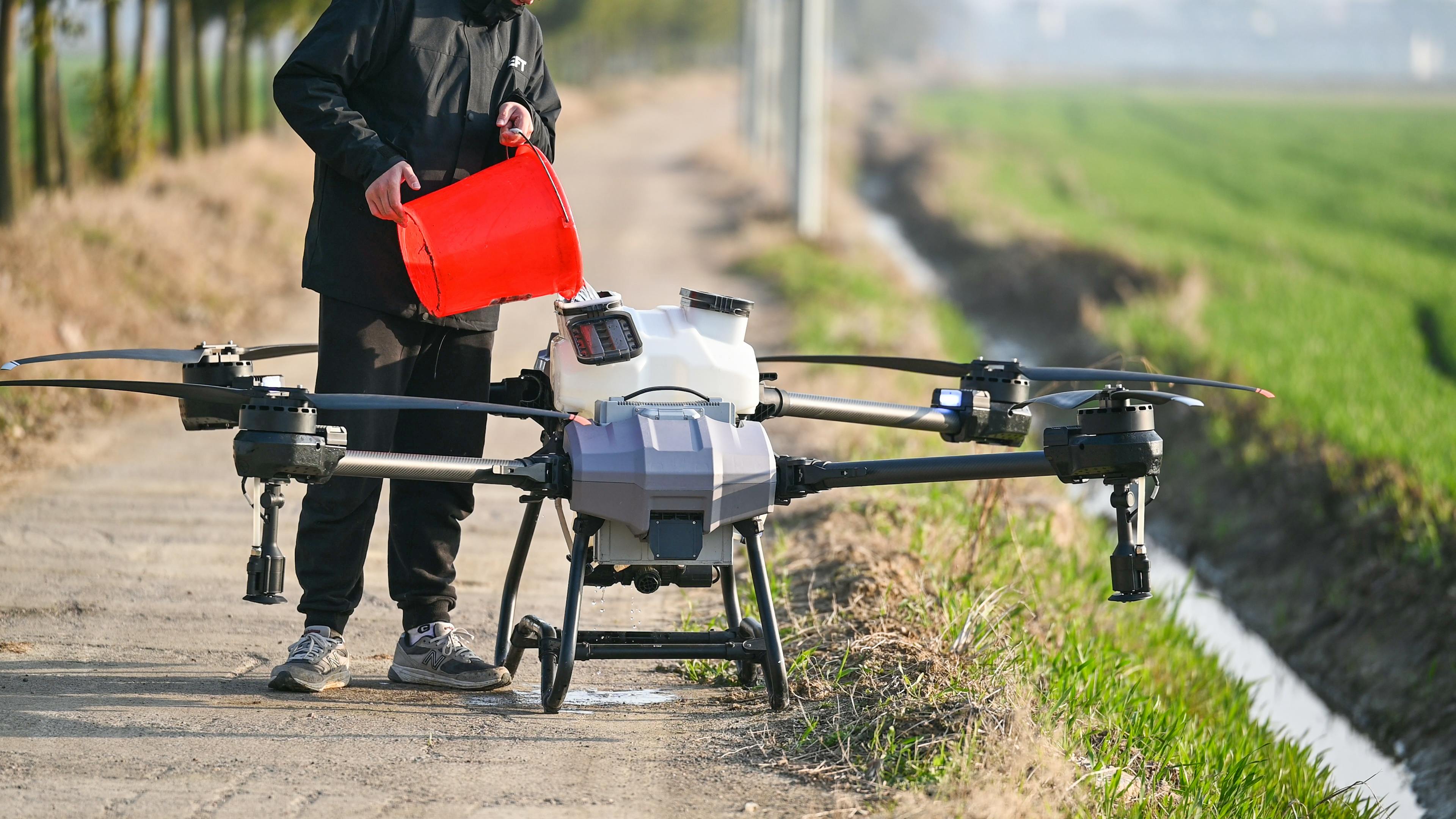
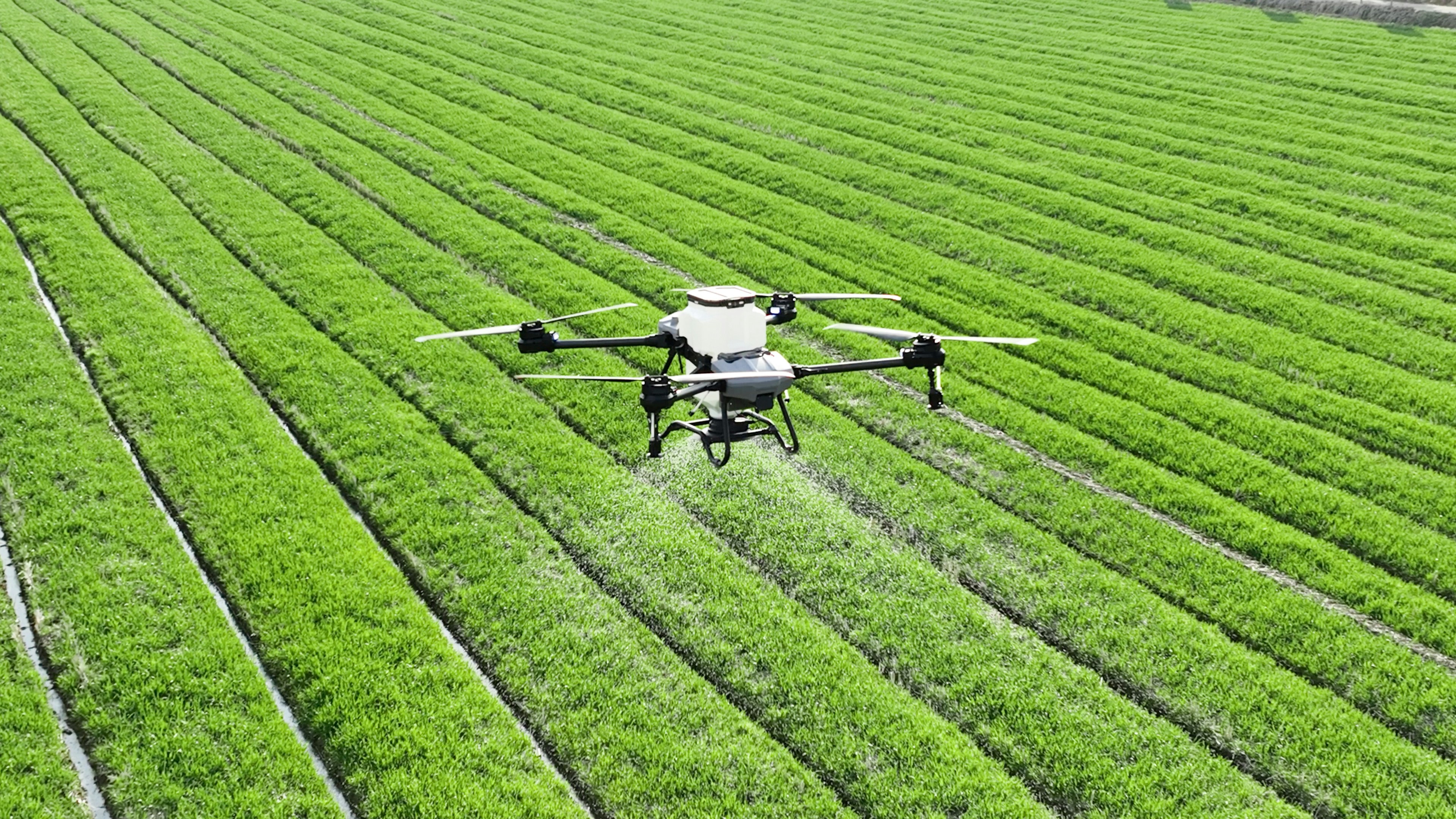
Supporting farmers and agribusinesses with precision spraying, crop health analysis, soil mapping, and yield insights

Geospatial Intelligence

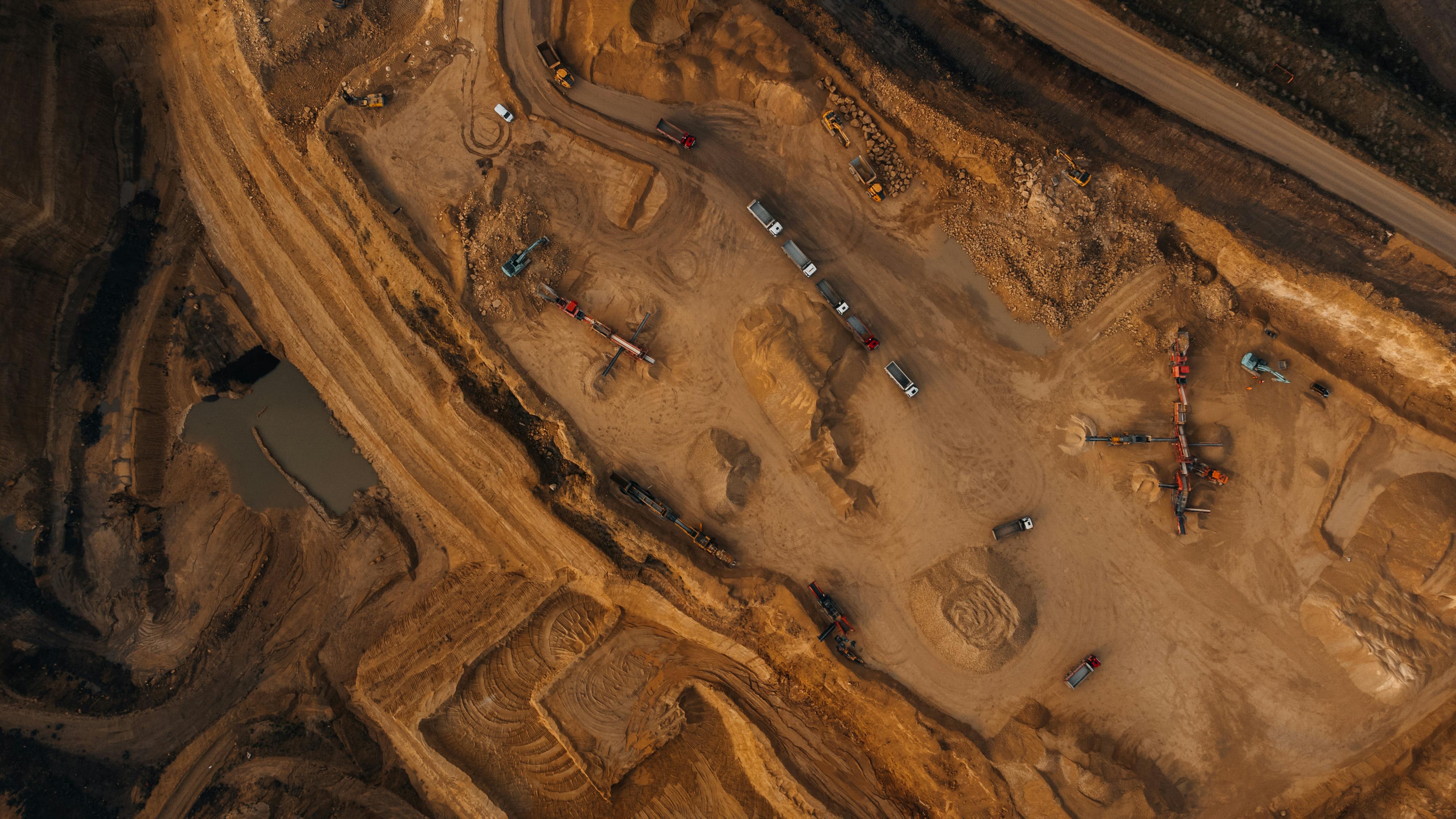
Providing mapping, 3D modelling, infrastructure assessment, land surveys, and site documentation across Kenya

Solar & Energy Inspection

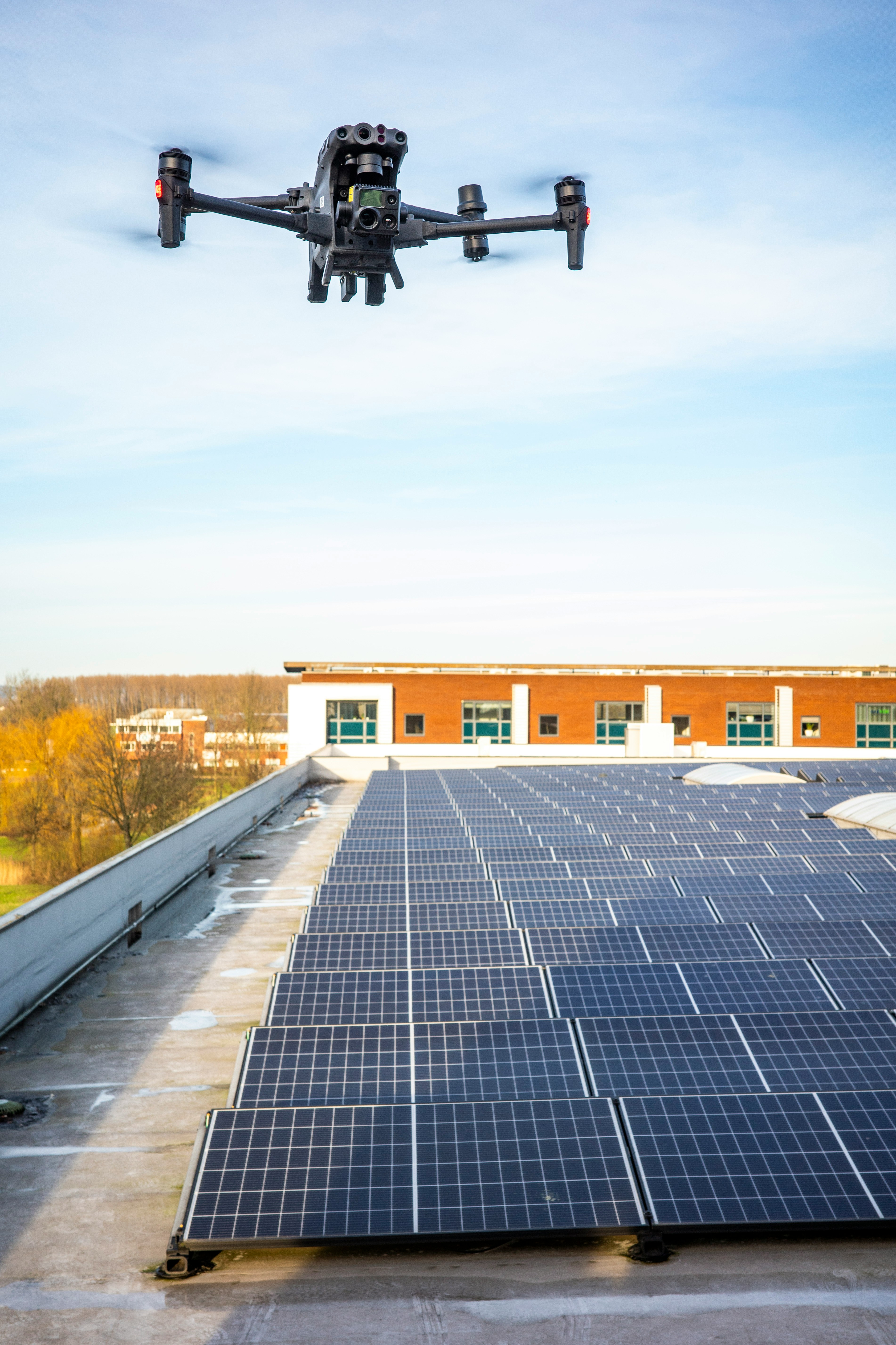
Using thermal imaging and aerial inspection to detect solar faults, improve performance, and support maintenance planning
Learn More
Ascend Team

Our Core Drone Intelligence Solutions

Ascendrone focuses on three high-impact areas: climate-smart agriculture, solar and energy inspection, and geospatial intelligence for infrastructure

Climate-Smart Agriculture

Climate-Smart Agriculture

Drone-enabled farming solutions that help farmers, cooperatives, agribusinesses, and institutions improve productivity, reduce input waste, and build resilience through better field intelligence.

  • Precision Spraying
  • Soil Condition Mapping
  • Yield Prediction and Crop Health Analysis
  • Drone Seeding
  • Pesticide and Fertiliser Application
Explore Agriculture Solutions
Solar Inspections

Solar & Energy Inspection

Aerial thermal inspection solutions for solar farms, commercial installations, institutions, and energy operators seeking to detect faults early and improve system performance.

  • Thermal Imaging Cameras
  • Thermal Fault Detection
  • Performance Optimisation
  • Maintenance Scheduling
  • Efficiency Monitoring and Reports
Explore Solar Solutions
Geospatial

Geospatial Intelligence for Infrastructure

High-precision mapping and aerial data solutions for infrastructure projects, land planning, construction monitoring, real estate documentation, and decision-making.

  • GPS Coordinate Mapping
  • Infrastructure Progress Tracking
  • 3D Modelling and Topographical Mapping
  • Land Registry Surveys
  • Real Estate Documentation
Explore Geospatial Solutions

Impact in Action

Showcasing drone-powered agriculture, solar inspection, and geospatial intelligence projects that support smarter decisions across Kenya

Tea Farm Monitoring

Tea Farm Health Analysis

Precision Agriculture

Mining Survey

Mining Site Survey

Topographical Mapping

Solar Farm Inspection

Solar Thermal Inspection

Fault Detection

Highway Construction

Highway Construction Progress

Highway Progress Tracking

Wheat Field Spraying

Precision Crop Spraying

Pesticide Application

Get in Touch

Ready to improve farm productivity, inspect solar assets, or map your site? Let’s discuss the right Ascendrone solution for your project.

Contact Information

Location

Nairobi, Kenya

Phone

+254 756 183 258

Email

info@ascendrone.co.ke

Business Hours

Mon - Fri: 8:00 AM - 5:00 PM
Sat: 9:00 AM - 12:00 PM

Request a Site Assessment

Nairobi, Kenya

Get Directions

Stay Updated on Drone Technology

Get the latest insights, industry updates, and exclusive offers delivered to your inbox