Our Impact Portfolio
Showcasing drone-powered agriculture, solar inspection, and geospatial intelligence projects that support smarter decisions across Kenya and East Africa.



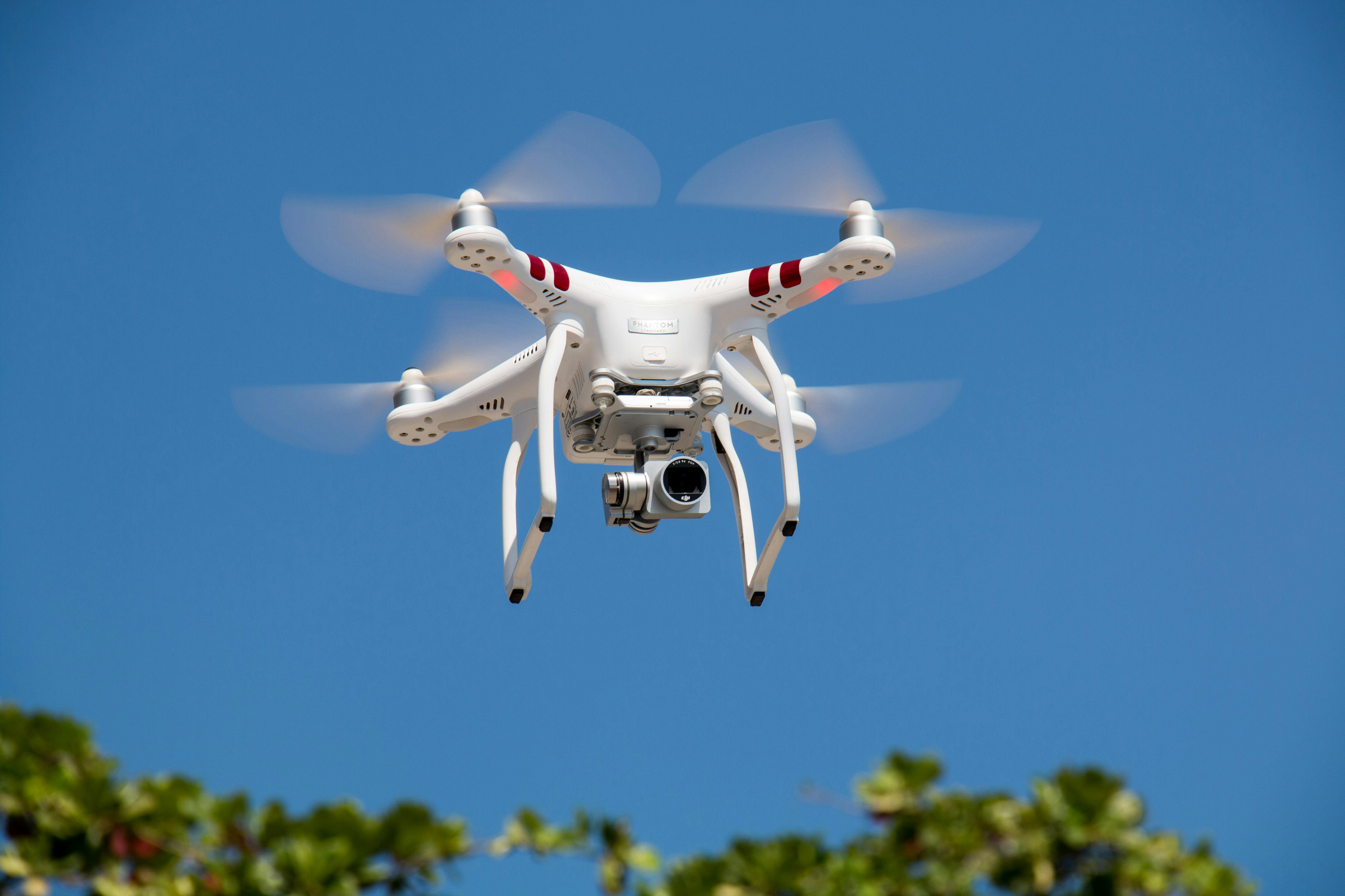

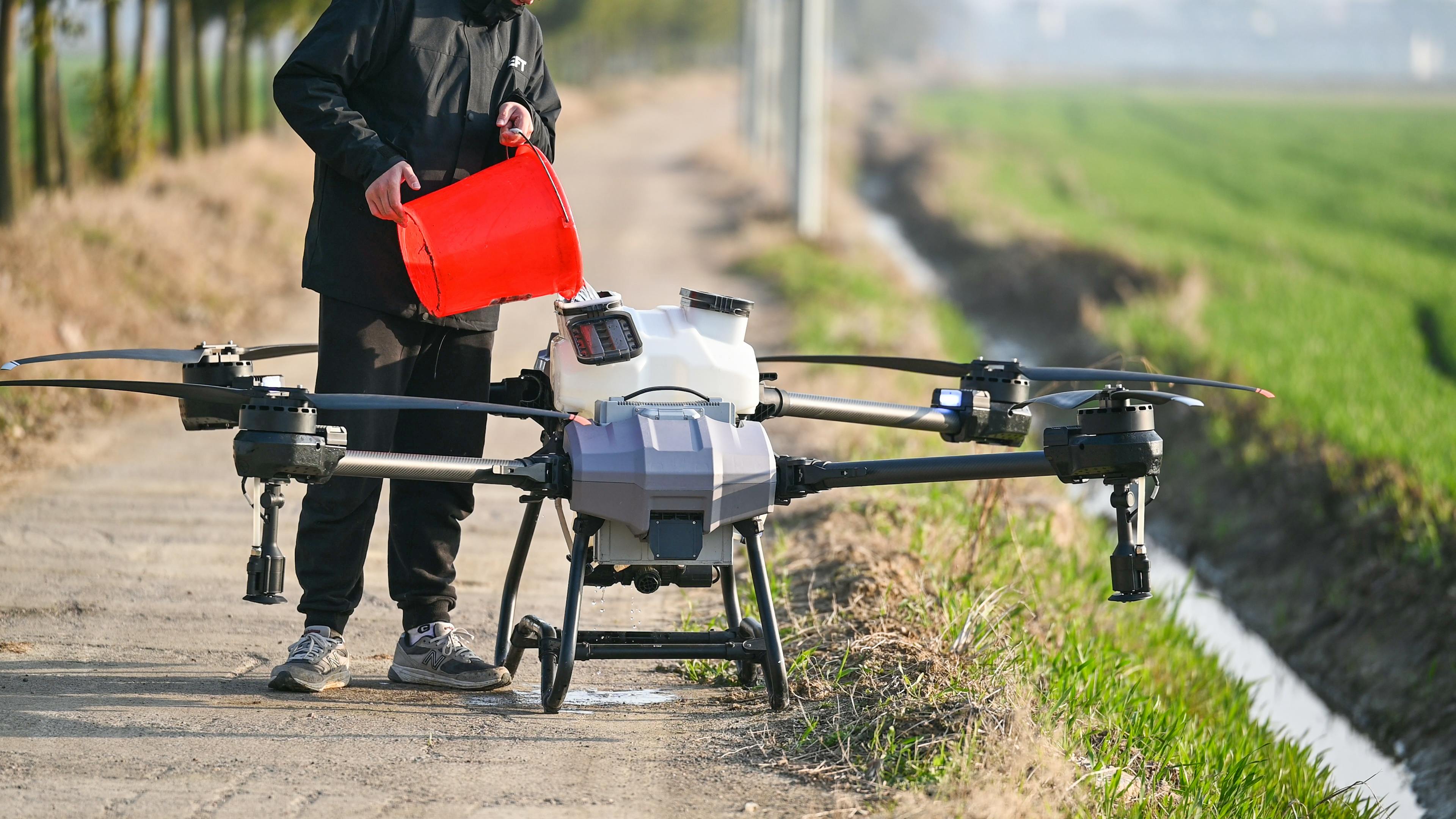


Explore how Ascendrone supports smarter decisions in climate-smart agriculture, solar inspection, geospatial mapping, land documentation, and infrastructure monitoring across Kenya.
Our work is organised around practical drone applications that improve productivity, visibility, resilience, and operational decision-making.
Showcasing drone-powered agriculture, solar inspection, and geospatial intelligence projects that support smarter decisions across Kenya and East Africa.
Each project is designed to produce practical outputs that clients can use for planning, monitoring, maintenance, compliance, and investment decisions.

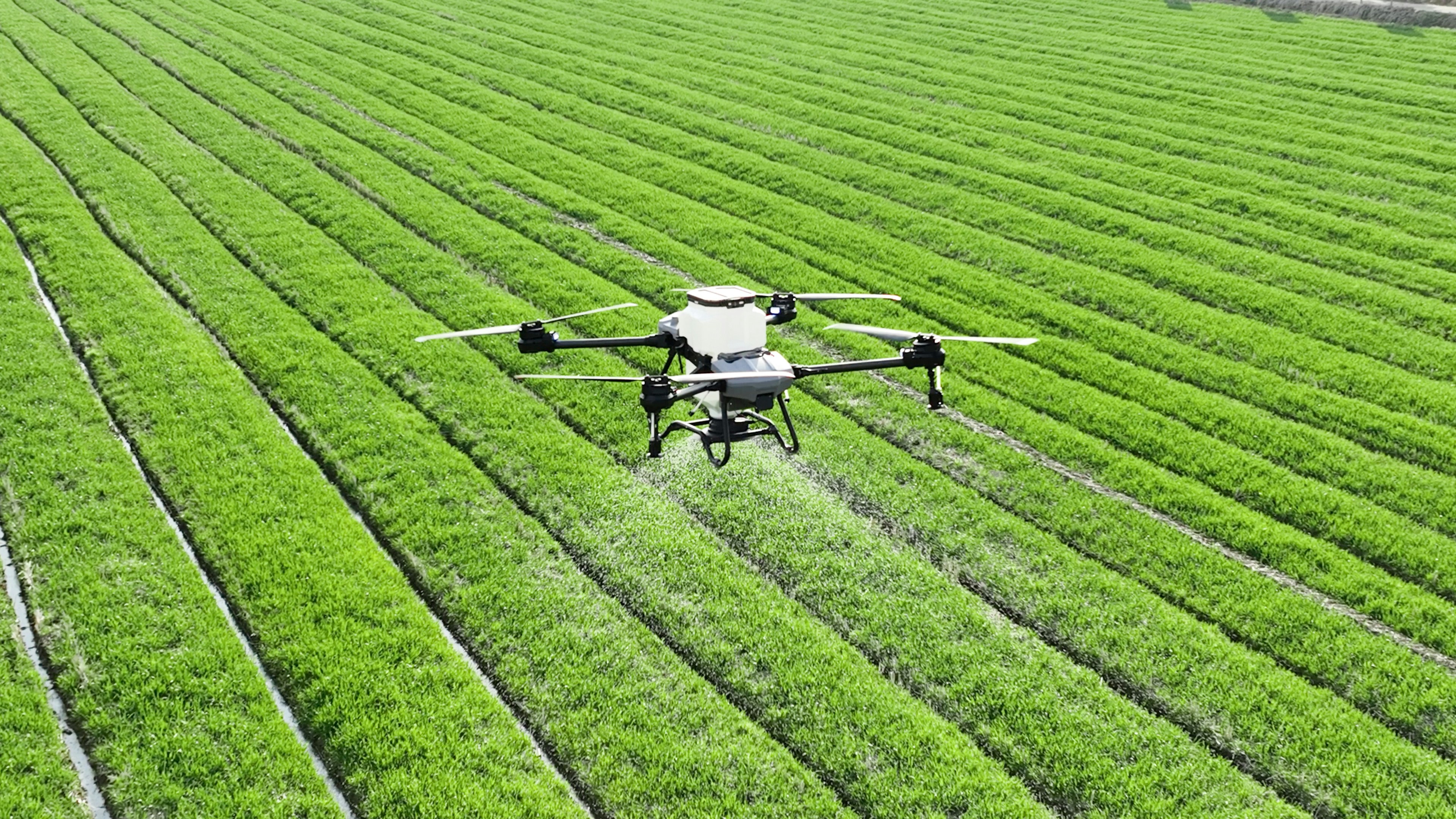
Drone data helps identify crop stress, uneven growth, input needs, and risk zones before they become costly problems.
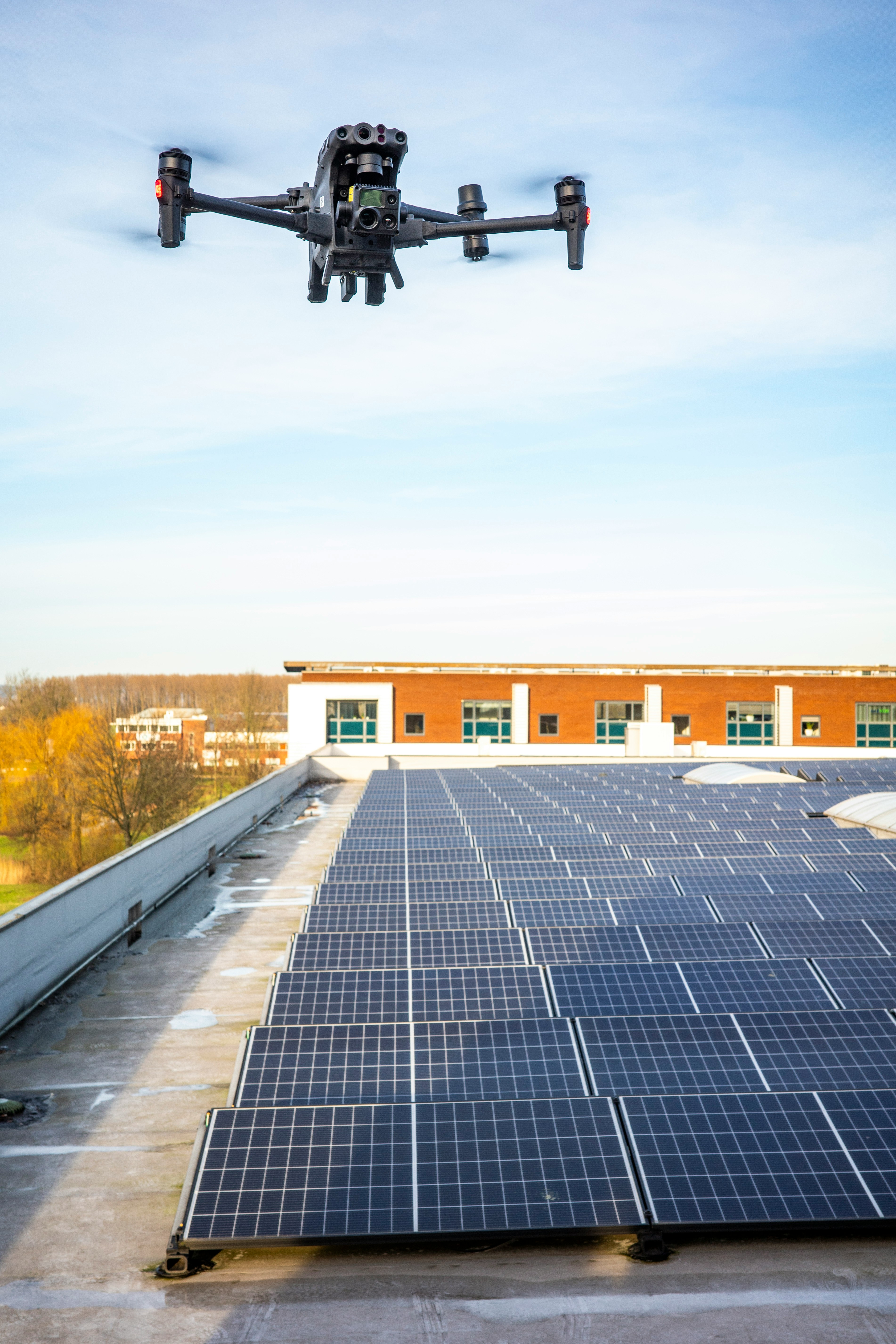
Thermal drone inspections help clients identify faults early, prioritise maintenance, and protect long-term solar asset performance.
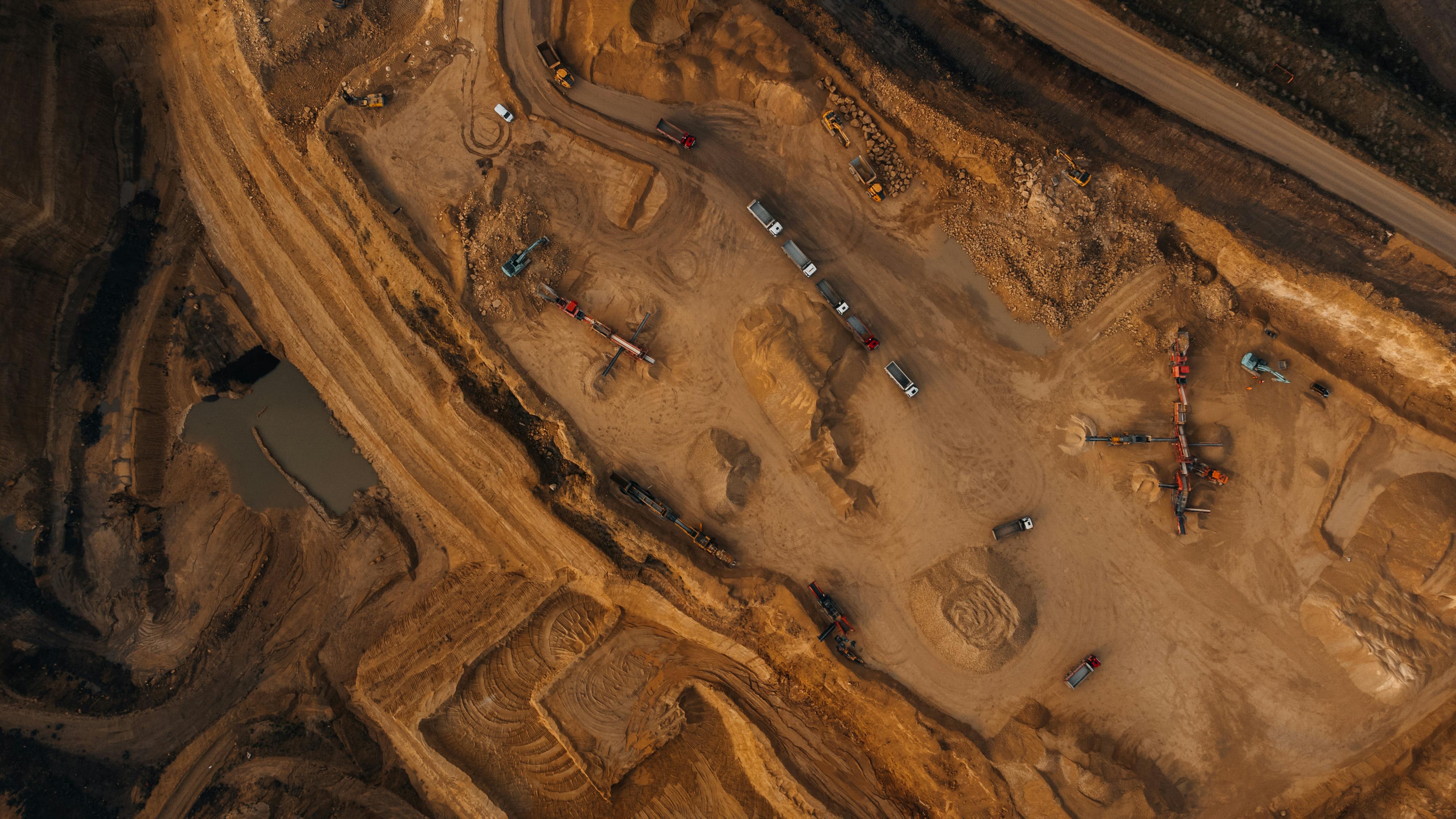
Geospatial outputs improve visibility over land, infrastructure, project progress, site risks, and development opportunities.
Whether you need farm intelligence, solar inspection, land mapping, or infrastructure monitoring, Ascendrone can help you choose the right drone solution.