Climate-Smart Agriculture
Drone-enabled farming solutions that help farmers, cooperatives, agribusinesses, and institutions improve productivity, reduce input waste, and build climate resilience.

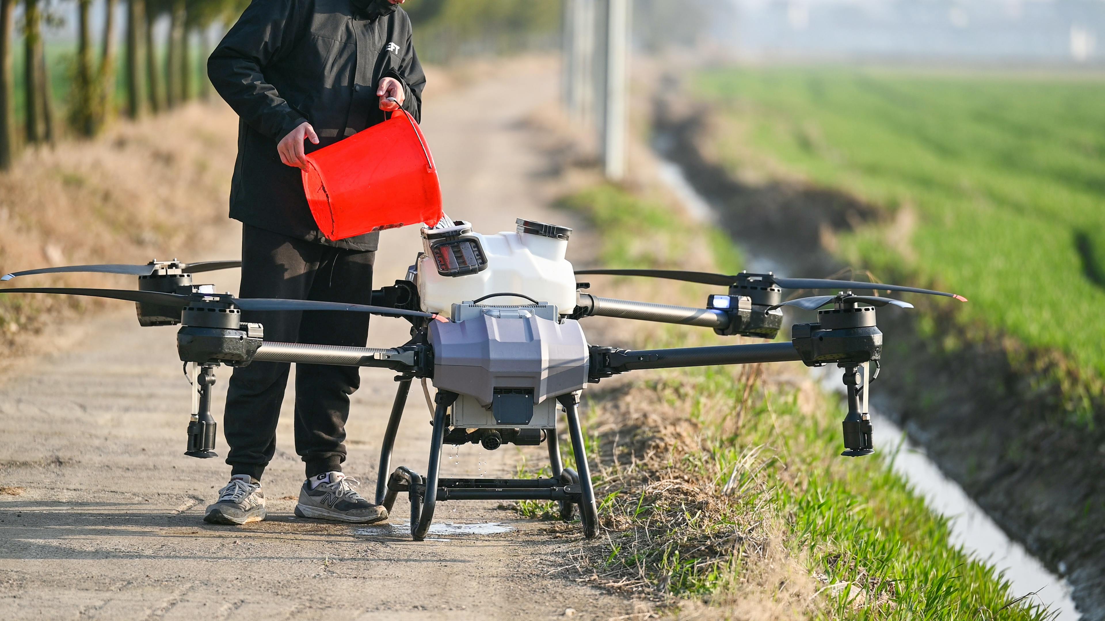
Precision Spraying
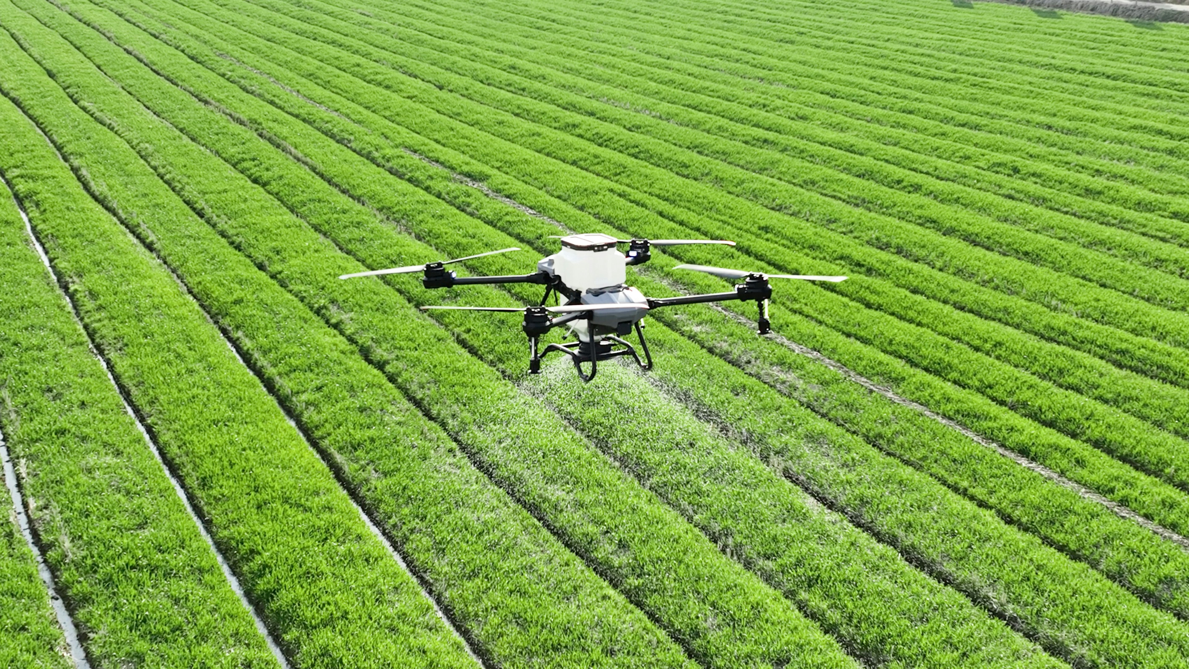
Targeted drone spraying for farms that need efficient pesticide, herbicide, or foliar fertiliser application with reduced wastage and improved coverage.
- Targeted crop treatment
- Reduced chemical wastage
- Improved field coverage
- Faster spraying for large farms

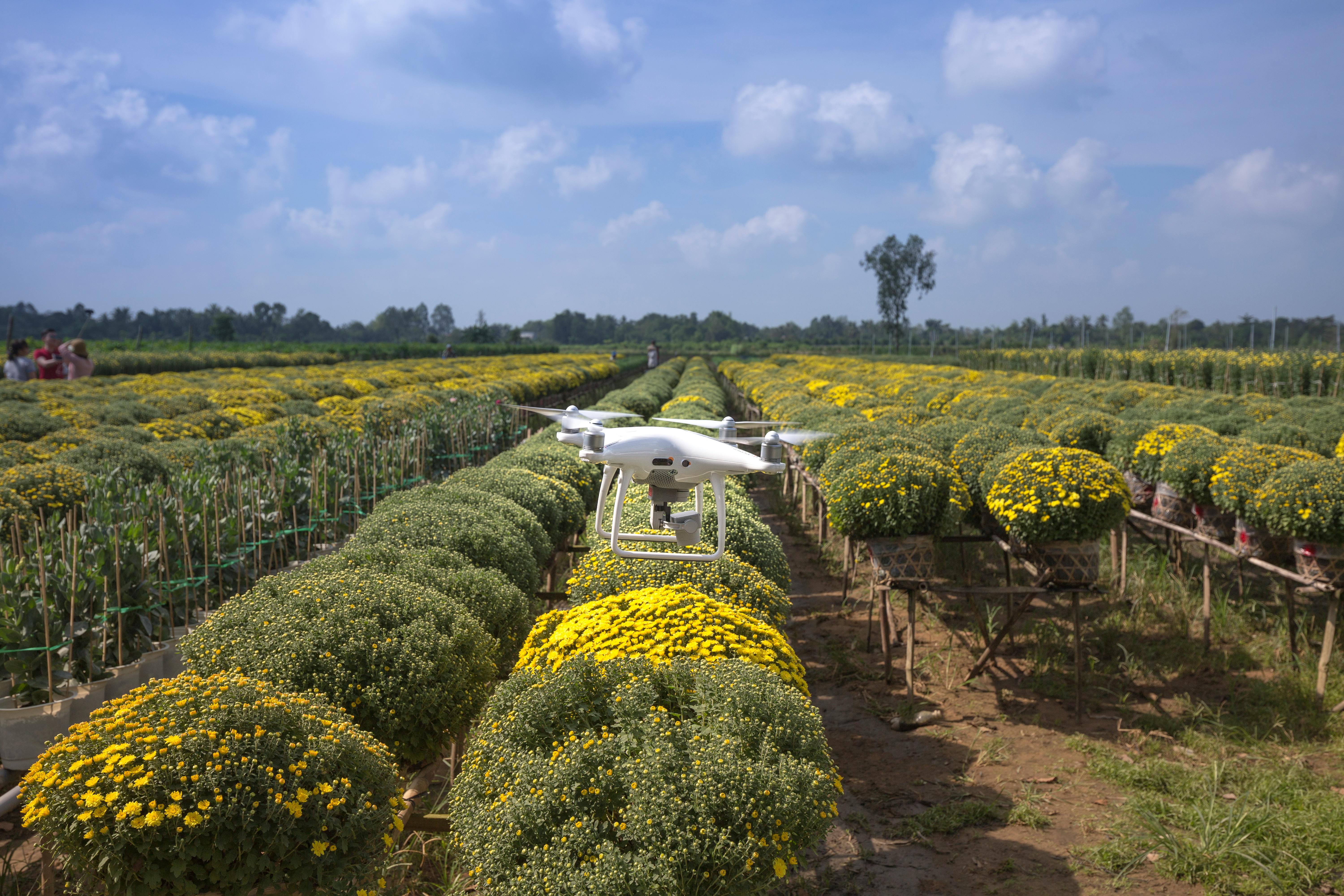
Crop Health Analysis
Aerial field monitoring to identify crop stress, uneven growth, pest pressure, water issues, and sections that may require urgent intervention.
- Crop stress detection
- Plant health monitoring
- Early problem identification
- Actionable farm reports
Yield Prediction & Field Intelligence
Drone data collection and analysis to support yield estimation, seasonal planning, crop performance tracking, and better farm management decisions.
- Yield forecasting support
- Farm performance tracking
- Field condition reports
- Decision-support insights
Soil Condition Mapping
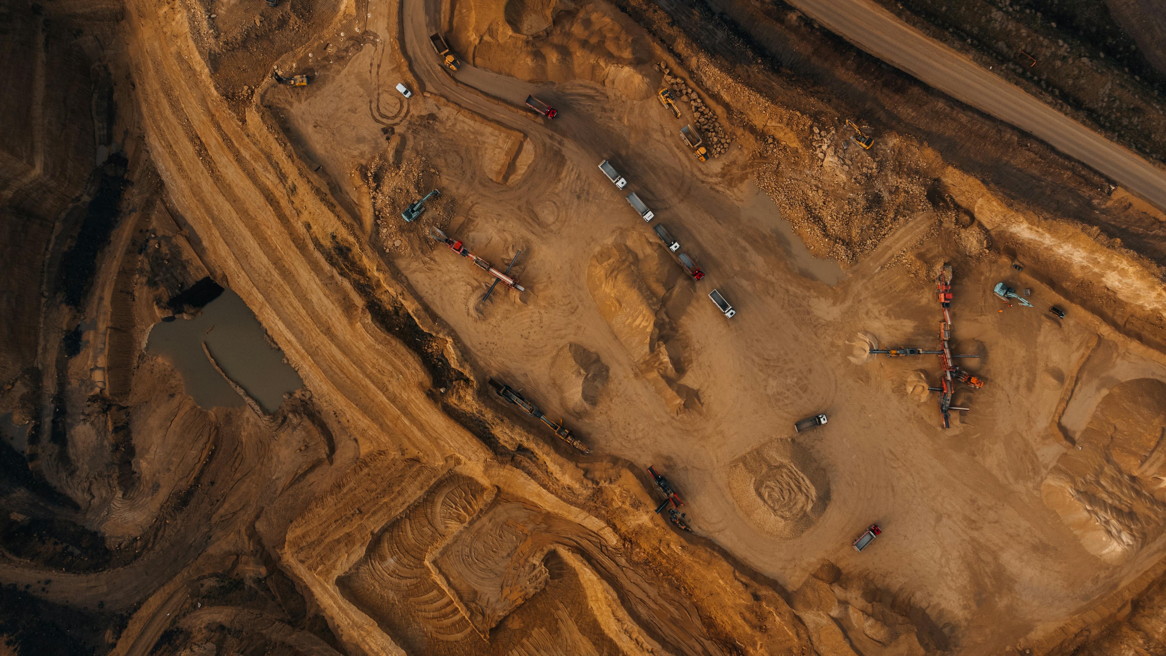
Aerial mapping to help identify field variation, drainage patterns, erosion-prone zones, and land-use conditions that affect productivity.
- Soil variation mapping
- Drainage and erosion indicators
- Farm zoning support
- Input planning guidance
Drone Seeding
Drone-assisted seed distribution for selected agricultural, reforestation, restoration, and land rehabilitation projects.
- Seed distribution support
- Reforestation applications
- Land restoration projects
- Reduced manual labour needs
Farm Intelligence Reports
Clear, practical reports that translate drone data into useful recommendations for farm owners, managers, investors, and development partners.
- Crop health summaries
- Field maps and observations
- Risk areas and recommendations
- Before-and-after comparisons