What to Include in Your Inquiry
The more details you provide, the easier it is for us to recommend the right drone solution.
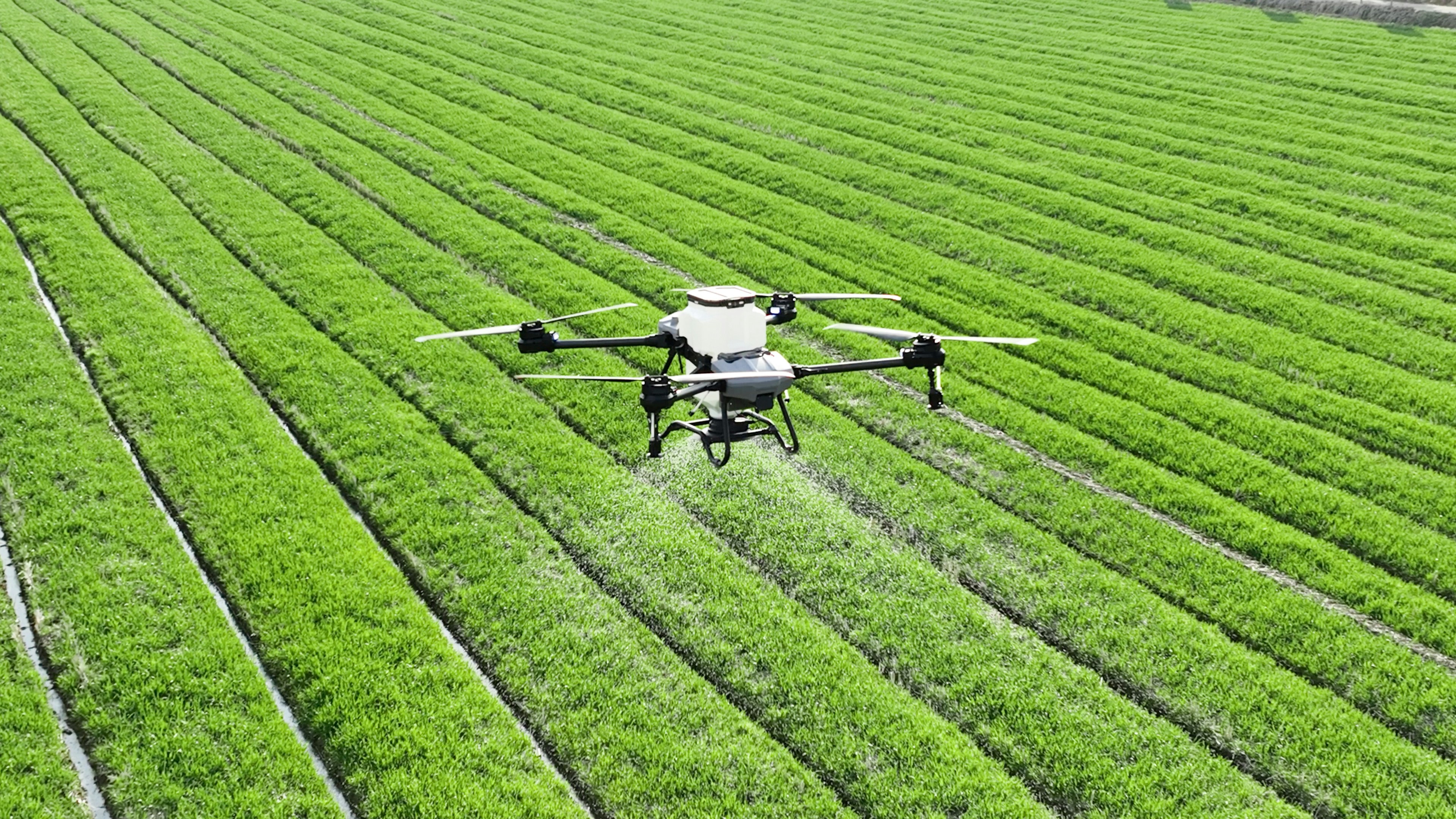
For Agriculture Projects
Share your crop type, farm size, location, current challenge, and whether you need spraying, crop analysis, soil mapping, seeding, or field reports.
- Crop type and farm size
- County and site location
- Spraying or monitoring needs
- Preferred timeline
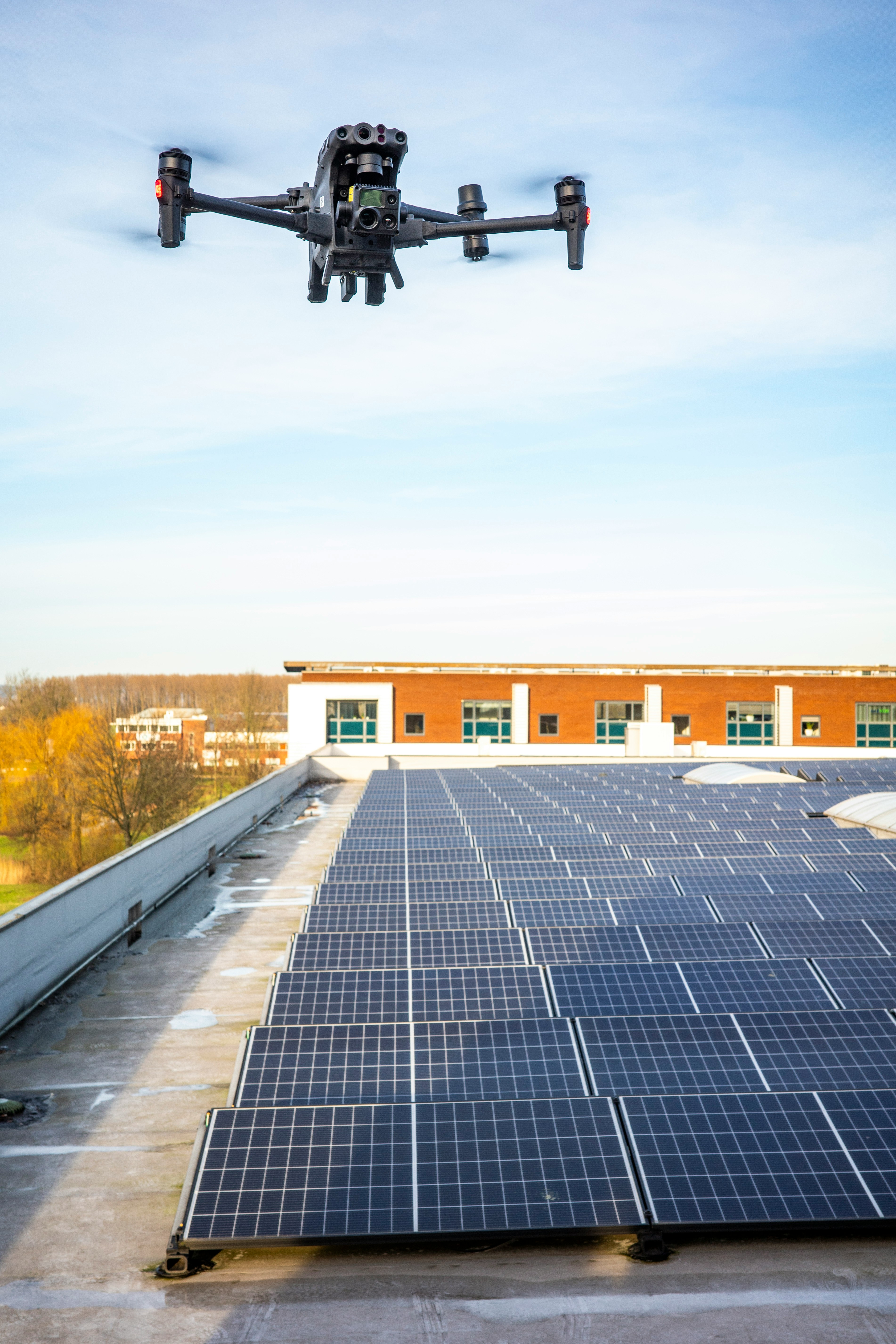
For Solar Inspection
Share the number of panels, type of installation, inspection goal, known faults, and whether you need thermal imaging, maintenance planning, or efficiency reports.
- Number of panels or site size
- Commercial, institutional, or solar farm
- Known performance issues
- Report requirements
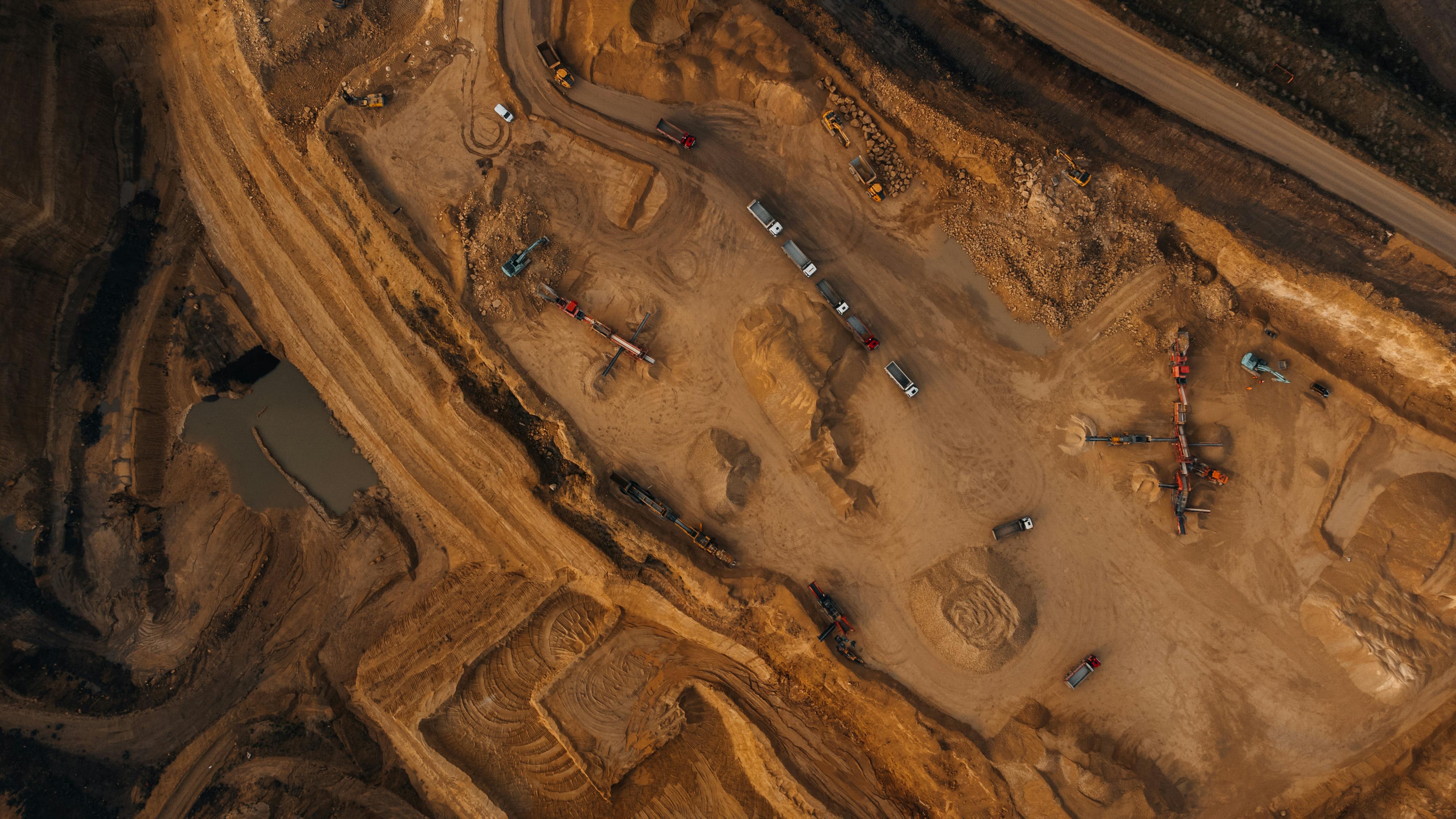
For Mapping & Infrastructure
Share your land size, site purpose, required outputs, and whether you need topographical mapping, 3D modelling, land survey support, or progress tracking.
- Land or project size
- Mapping or inspection objective
- Preferred output format
- Project deadline