About Ascendrone
We transform aerial data into practical intelligence for agriculture, renewable energy, land, and infrastructure projects across Kenya.
Discover Our ApproachWho We Are
Powering Agriculture, Energy, and Infrastructure Through Aerial Intelligence
Ascendrone is a drone-enabled data and operations company based in Kenya, focused on delivering practical aerial intelligence solutions for climate-smart agriculture, solar and energy inspection, and geospatial infrastructure mapping.
We help farms, agribusinesses, solar operators, landowners, developers, institutions, and infrastructure teams collect reliable aerial data, automate field operations, detect risks early, and make better decisions using drone technology.
Our work combines drone operations, local field knowledge, geospatial data, thermal imaging, and practical reporting to support productivity, climate resilience, operational efficiency, and high-impact development across Kenya and East Africa.
Our mission is to empower farms, energy providers, developers, and institutions with drone-enabled intelligence that improves productivity, resilience, sustainability, and operational efficiency.
We deliver climate-smart agriculture, solar inspection, and geospatial mapping solutions that transform aerial data into clear, practical insights for decision-making.
Our vision is to become East Africa’s leading drone intelligence company for agriculture, renewable energy, and digital infrastructure transformation.
We envision a future where drone technology supports smarter farming, cleaner energy systems, safer infrastructure development, and stronger climate resilience across Africa.
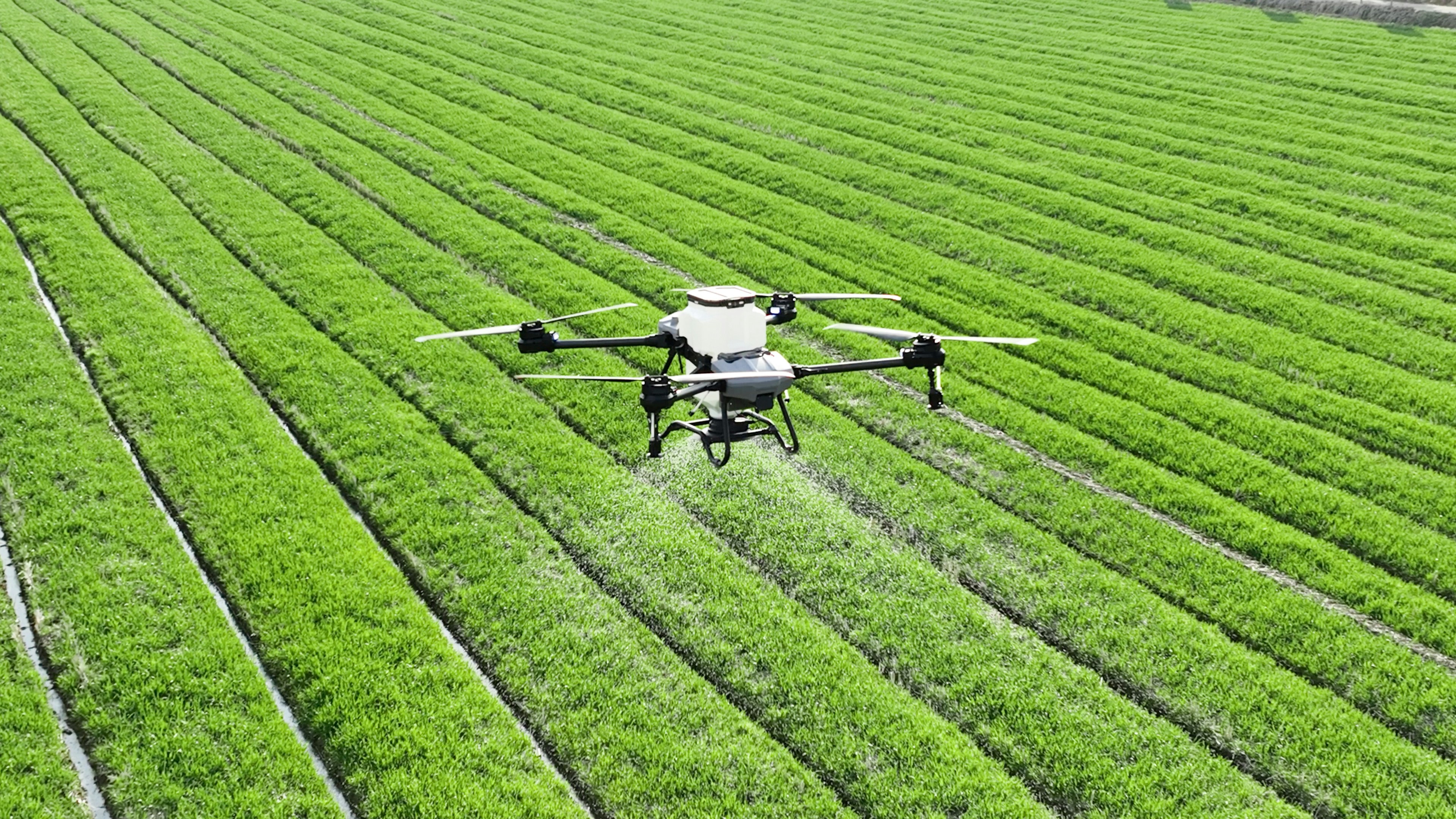
We support farmers, cooperatives, agribusinesses, and institutions through precision spraying, soil condition mapping, crop health analysis, yield prediction, drone seeding, and targeted pesticide and fertiliser application.
We use aerial and thermal imaging to help solar operators detect faults, identify hotspots, monitor efficiency, schedule maintenance, and improve long-term system performance.
We provide mapping, GPS coordinate capture, 3D modelling, infrastructure assessment, topographical surveys, progress tracking, land registry support, mining assessments, and real estate documentation.
We apply drone technology, data tools, and field-based problem solving to deliver practical solutions for agriculture, energy, and infrastructure challenges.
We support climate-smart practices, resource efficiency, renewable energy performance, and environmentally responsible drone operations.
We prioritise reliable aerial data, precise mapping, clear reporting, and actionable insights that clients can confidently use.
We design our services around each client’s site, sector, budget, and operational needs, ensuring practical value from every project.
We operate with a strong focus on Kenya Civil Aviation Authority requirements, safety standards, and responsible drone deployment.
We aim to help clients reduce waste, improve productivity, detect risks early, and make smarter decisions that contribute to long-term development.